USE CASES
WEATHER EMERGENCY USE CASE
The Crexdata Weather-Induced Emergencies Use Case (EmCase) leverages cutting-edge technology to mitigate the impact of natural disasters, such as urban flooding and wildfires. These events have devastating effects globally, the EmCase focuses on real-time data, advanced simulations, and AI-driven tools to provide critical decision-making support.
Real-Time Event Forecasting and Simulation
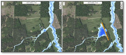
- Urban Flooding Simulation with FloodWaive
- Processes weather forecasts into real-time 2D flood simulations.
- Predicts flooding scenarios and suggests optimized barrier heights to reduce impact.
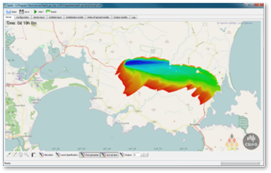
- Wildfire Simulation with Spark
- Provides fire propagation models based on wind, humidity, and terrain data.
- Outputs include fireline intensity, flame height, and potential spread.
- Facilitates rapid response through visualized projections of fire behavior.
Augmented Reality (AR) for Emergency Management
- Flood Response:
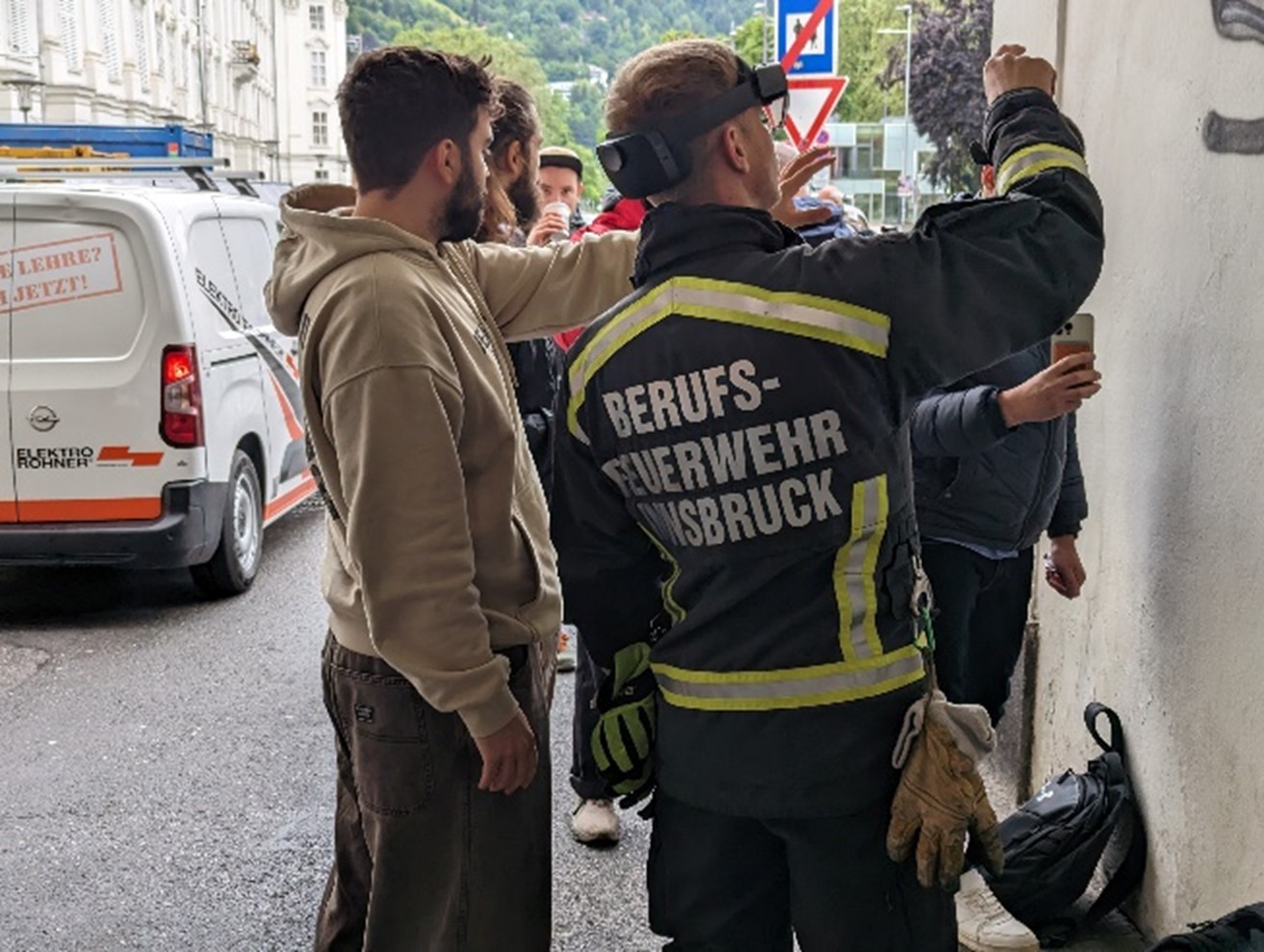
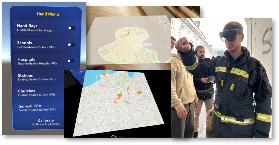
- Visualizes flood levels, flow direction, and danger zones using HoloLens.
- Real-time routing integration with Mapbox and Kafka for enhanced navigation and safety.
- Interactive maps and uncertainty indicators aid decision-makers with color-coded risk visualization.
- Wildfire Response:
- Displays fire spread projections, team locations, and POIs in AR.
- Incorporates live weather data for real-time adjustments to firefighting strategies.
- Improves depth perception for better situational awareness during firefighting efforts.
Federated Machine Learning and UAV Applications
- Interactive UAV Modeling:
- Combines UAV-captured 3D models with simulations for real-time updates.
- Supports decision-making by merging real and simulated data for better route planning in urban floods.
- Mental Fatigue Monitoring for Rescuers:
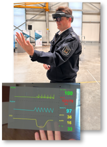
- Uses eye-tracking and machine learning to assess fatigue in real-time.
- Ensures task allocation aligns with cognitive states for improved safety.


AI and Text Mining for Emergency Insights
- Real-Time Social Media Monitoring:
- Multilingual text mining extracts critical information during crises.
- Predicts event types (e.g., flood, fire) with high accuracy using machine learning models.
- Integrates with ARGOS to display geolocated insights for immediate action.
- Enhanced Decision Support:
- Provides summaries of critical developments via question-answering systems.
- Explores unsupervised clustering techniques to improve information accuracy.
Read more about this case:
- CREXWET: CREdata-Weather-Emergency-Twitter
- CREXWET-SYNTH: CREXdata-Weather-Emergency-Twitter-SYNTHetic
- CREXWED: CREXdata Weather Emergency Detector
- CREXWED-distilled: CREXdata Weather Emergency Detector (Distilled)
- UPB Leads Innovation in Real-Time Weather Emergency Response for CREXDATA Project
- Finland’s Ministry of the Interior facilitates testing ground for Weather Emergency Use Case in CREXDATA
- HYDS Elevates Weather Emergency Management with Argos Integration in CREXDATA Project
- DCNA Validates AI and AR Tools for Weather Emergency Response in Final CREXDATA Trials
- FMI Unveils AI-Driven Impact Forecasting Tool to Revolutionize Emergency Management in CREXDATA Project
- CREXDATA and COLLARIS-2 Join Forces to Revolutionize Disaster Response with Drone Intelligence and Predictive Analytics
- Transferability of the CREXDATA demonstrator system tested in Finland
- Transforming Crisis Response: CREXDATA’s New AI Toolkit for Social Media Mining
- CREXDATA Tests Emergency Response System in Final Austrian Trial
- CREXDATA and FloodWaive Forge Alliance to Revolutionise Flood Management with AI Surrogate Models
- Europe’s April Emergencies: A Catalyst for Advanced Disaster Management
- BSC Researchers to Present AI-Powered Solutions for Climate Disaster Response at 4YFN, MWC25
- Addressing Climate-Induced Disasters with Advanced Data Solutions: Lessons from Valencia Floods
- Lessons from Greece’s Devastating Floods CREXDATA Project’s Relevance Highlighted

