Recent floods in Valencia, Spain, have reminded us of the growing risks posed by climate-induced disasters. With extreme weather events becoming more frequent and intense due to climate change, our cities and communities face unprecedented challenges. The CREXDATA project leverages cutting-edge data solutions, including satellite data, UAV imagery, and advanced simulations, to provide a multidimensional view of such evolving crises. Valencia’s experience underscores the urgent need for advanced tools and data-driven solutions to help communities prepare, respond, and recover more effectively.
Flooding Crisis in Valencia: A Wake-Up Call for Resilience
In late October, Valencia was hit by severe floods that left parts of the city submerged, disrupting transport, damaging infrastructure, and affecting thousands of residents. This deluge, one of the most severe in recent years, is part of a troubling pattern linked to climate change. The city’s infrastructure struggled under the volume of water, leading to traffic disruptions, building damages, and economic setbacks.
In response to such overwhelming climate-induced disasters, the CREXDATA project stands at the forefront of innovative, data-driven solutions. By integrating real-time data sources—such as UAV and satellite imagery, social media updates, and meteorological forecasts—CREXDATA aims to provides a comprehensive situational awareness platform to support emergency teams in high-stakes decision-making.
CREXDATA’s tools were designed precisely for scenarios like Valencia’s floods, where rapid, informed action is essential. The ARGOS component of the CREXDATA platform consolidates and visualizes incoming data from various sources to offer a live, evolving situation picture of flood conditions. This empowers responders with access to predictive models and actionable insights that can guide immediate response and resource allocation.
The Role of Technology and Data in Future Disaster Management
ARGOS, one of CREXDATA’s core components, aggregates data from meteorological forecasts and real-time sensors, offering localized flood forecasts. With RapidMiner workflows, ARGOS transforms weather and impact data into actionable insights, allowing municipalities to assess and respond to real-time risk levels effectively.

Predictive Insights: Preparing for the Unpredictable
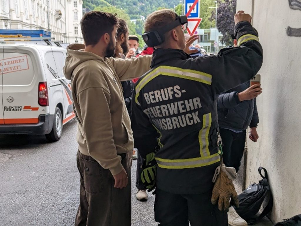
By incorporating cutting-edge technology like Augmented Reality (AR) and 3D modelling with Neural Radiance Fields (NeRF), CREXDATA provides a unique spatial understanding of flood impacts on urban landscapes. The AR tool overlays real-time water-level data on digital maps, helping field teams quickly identify affected areas and plan evacuation routes. Simultaneously, 3D models generated from UAV imagery using the innovative NeRF machine learning approach are crucial for evaluating infrastructure stability and identifying accessible routes across impacted regions.
CREXDATA’s data-driven approach will enable decision-makers to allocate resources, issue warnings, and even strategize long-term infrastructural adjustments based on reliable, real-time insights.
Supporting Cities and Communities Across Europe
As cities across Europe face similar climate-induced crises, the CREXDATA platform stands out as a potential game-changer. In close collaboration with first responders, this project aims to enable the proactive protection of urban centers. With CREXDATA, cities may have the potential to transition from reactive to a more proactive disaster management, effectively reducing both economic and human costs associated with such natural disasters.
The CREXDATA project represents a shift towards data-supported resilience in the face of extreme weather, showing how technology can empower communities to adapt to and thrive despite environmental challenges.
The recent floods in Valencia have illustrated the critical need for improved disaster response systems. With the technology developed and tested in CREXDATA, we can harness the power of real-time data to support our communities, anticipate future crises, and build resilience in a warming planet. The time to act is now; by embracing technological advancements and fostering data-informed decision-making, we can create safer, more sustainable urban environments for the future.
